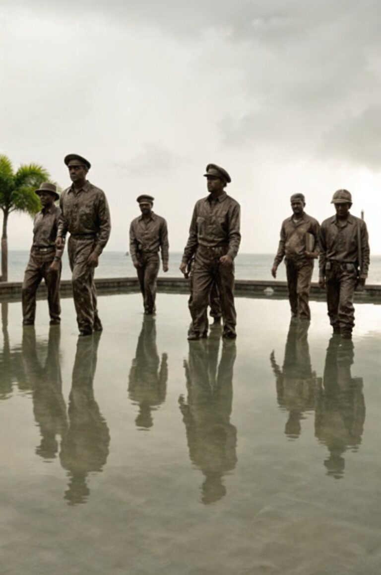
MacArthur Park
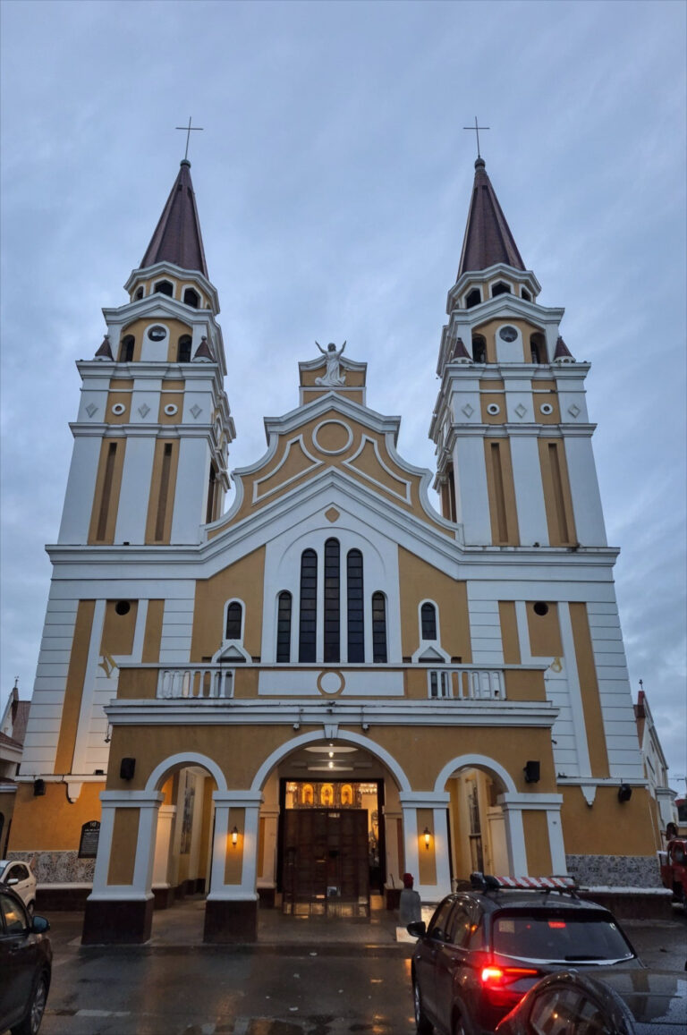
Palo Cathedral
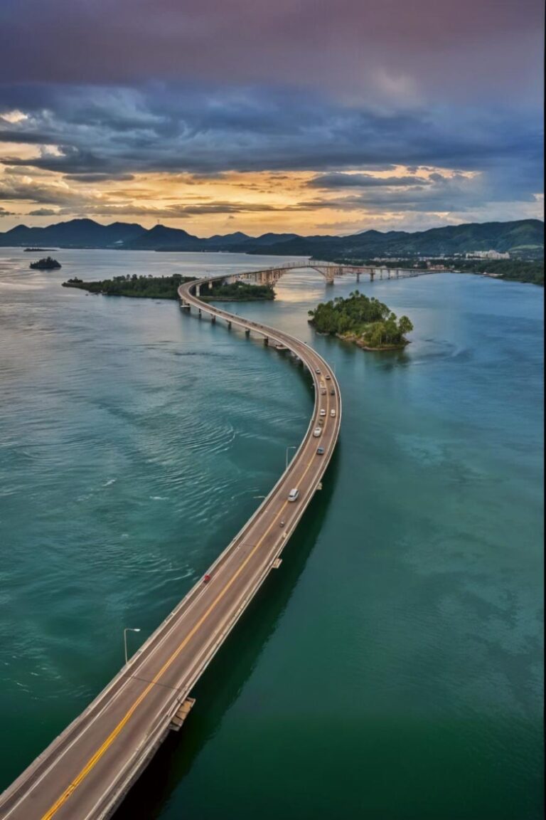
San Juanico Bridge
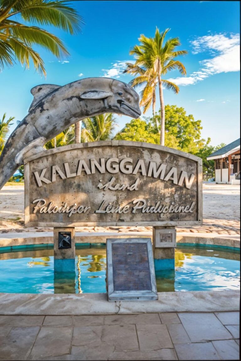
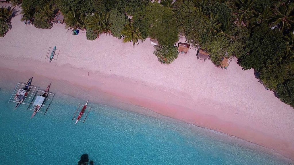
Kalanggaman Island
Sila Island
Sogod Bay
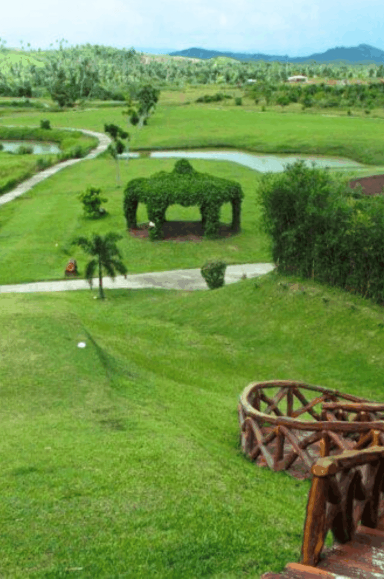
San Juanico Golf & Country Club
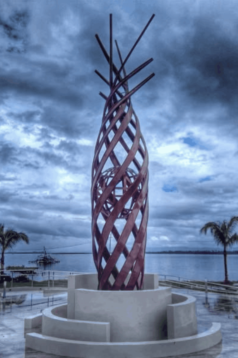
Yolanda Memorial Astrodome
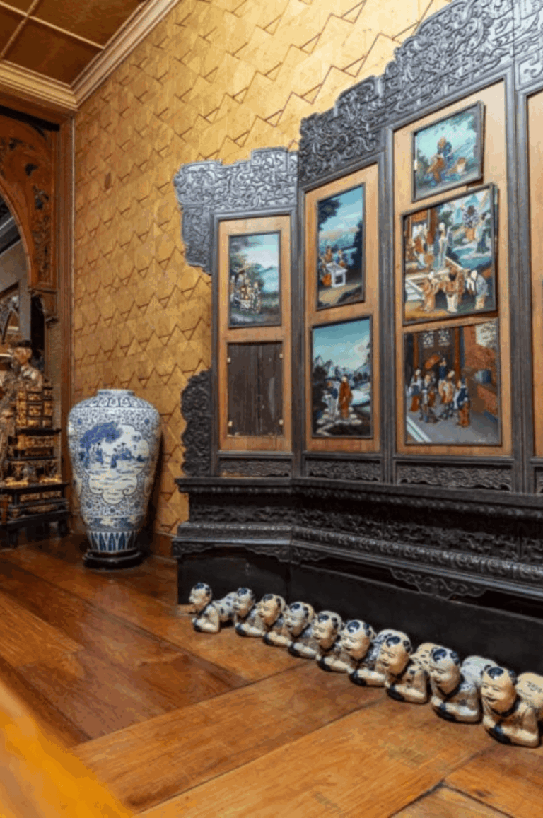
Sto. Nino Shrine & Heritage Museum
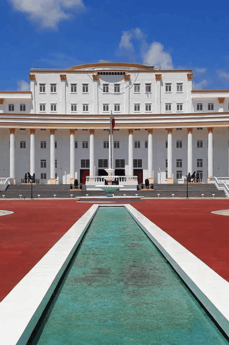
Leyte Provincial Capitol
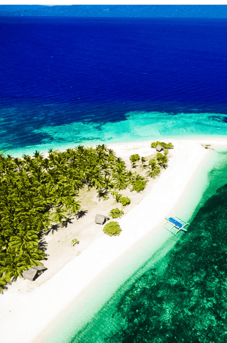
Cuatro Islas
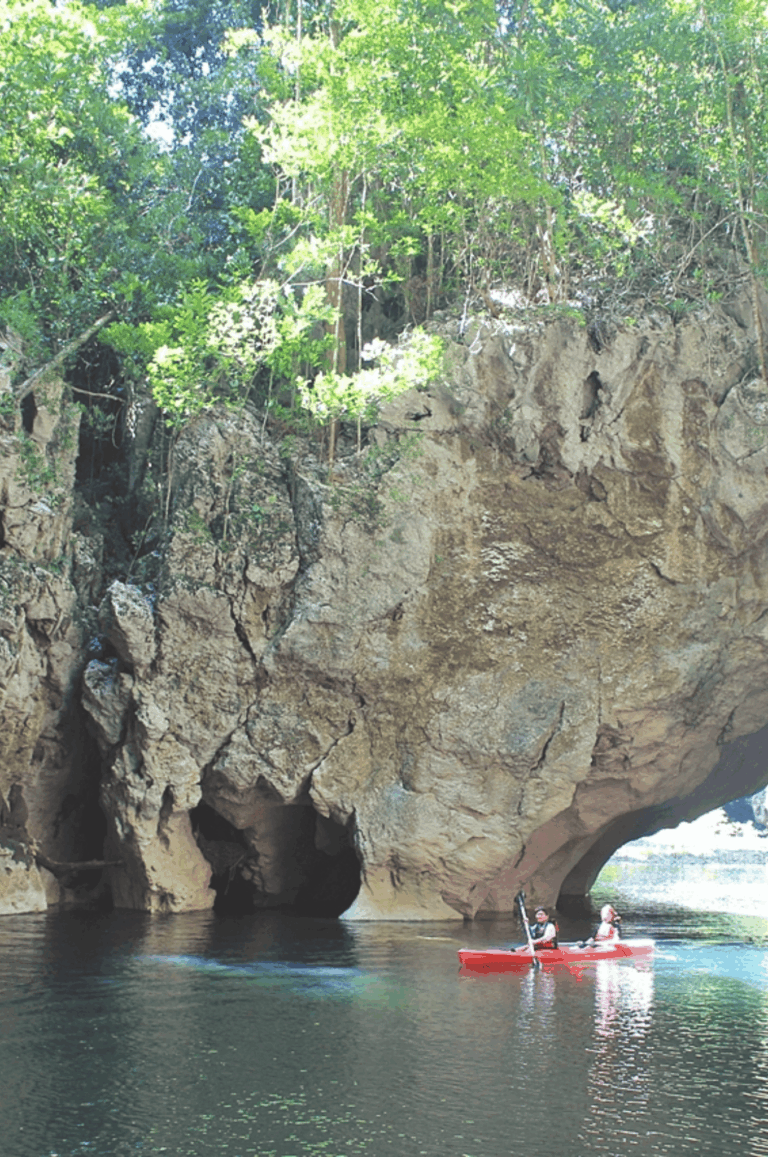
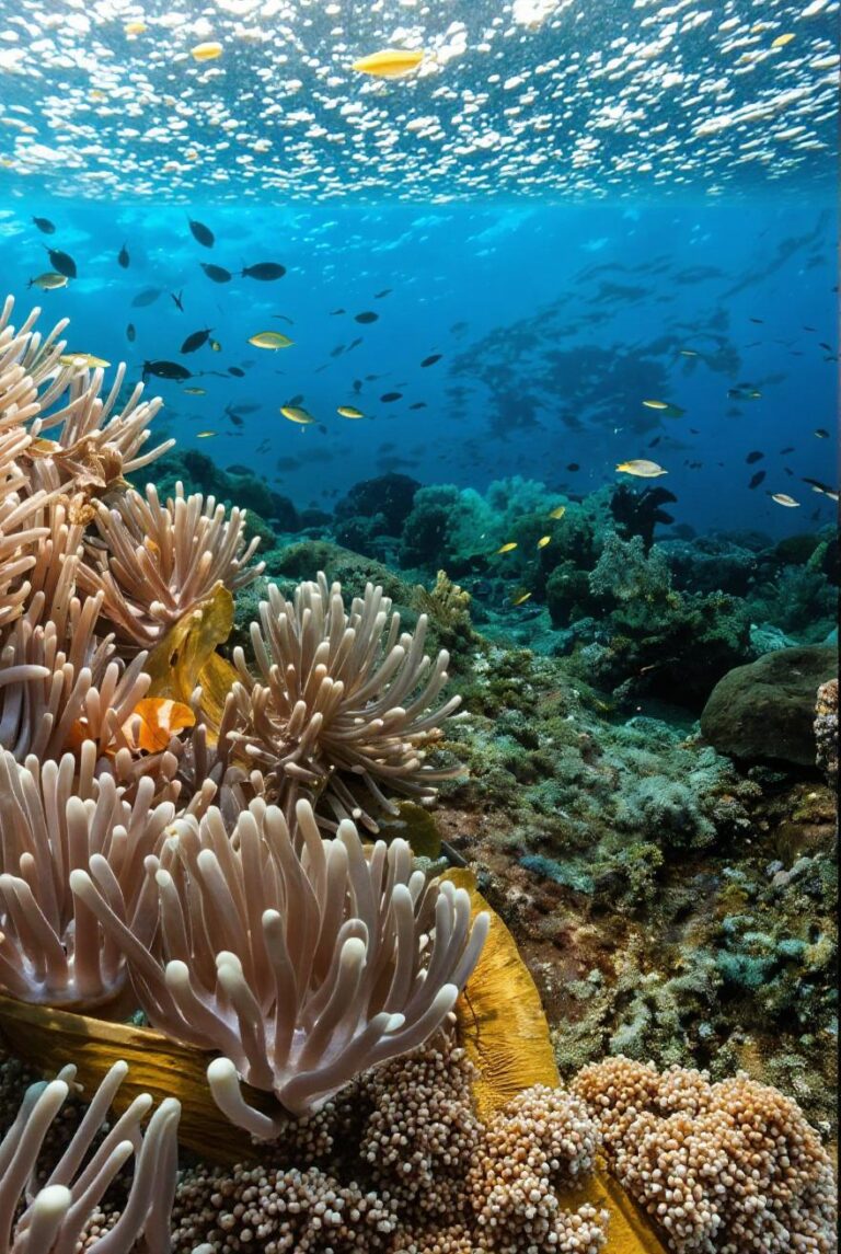
Sohoton Cave
Mahagnao Volcano Natural Park